22 October, 2010

Hotspots and IEDs and Wrecks! (Oh My!)

Last-minute touches for Gaelcon tomorrow


Hotspot #2 (from S&S)
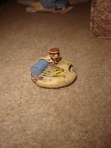
Hot Spot #2

All five hotspots. I really like these resin pieces - very easy to paint up and with nice detail
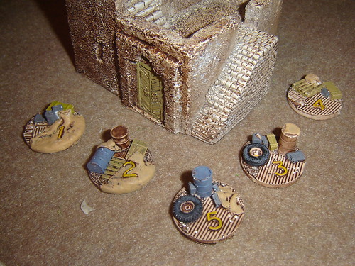
Hot Spots

Wrecked pick-up truck. (Again from S&S). I'm not too sure about my colour choice on the body. Too similar to the windows maybe...
Wrecked Pick-Up

Some IEDs. I got a ten-pack from S&S, some nice variety in it, but here's three of them.
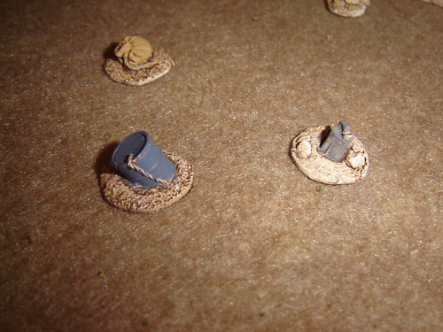
IEDs (S&S)

A couple of Liberation Miniatures IEDs - all artillery shells
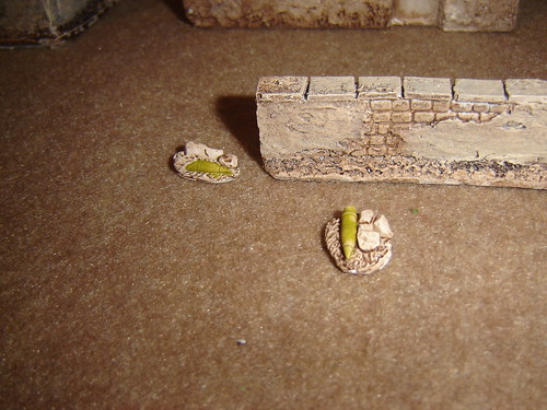
IEDs (Liberation)

See you there, and I'll be posting heaps of game reports next week in any case

20 October, 2010

British Reinforcements

Reinforcements have arrived just in time to help 'B' Platoon out.


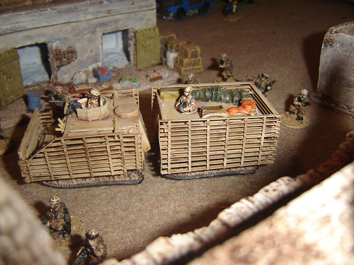
A Viking armoured fighting vehicle

Viking

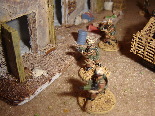
A fire team clears a bazaar

Fire Team clears bazaar

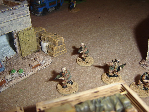
Second fire team exits the Viking to set up rear security

Fire Team exits Viking

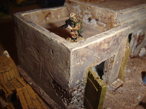
Marksman sets up on rooftop

Sniper sets up

Section leader directs light mortar (51mm)

Section leader directs light mortar

Special Forces team moves through alleyway

Special Forces

They may not seem much, but they could make all the difference.

19 October, 2010

Wilson's Wadi - Map


I played for a while with basing the entire map of the campaign for Wilson's Wadi on actual Satellite imagery, but eventually fell back to the hand drawn schema I've gotten used to.

Anyone out there had good experiences using real satellite imagery as game maps?


Each of the nine scenarios is set in a section of this larger map, so some sections of the village will be reused


Inevitably I'm guessing that players will remember certain encounters based on the terrain layout..."the poppy field of death!" and so on may enter wargamer folklore!

More like this